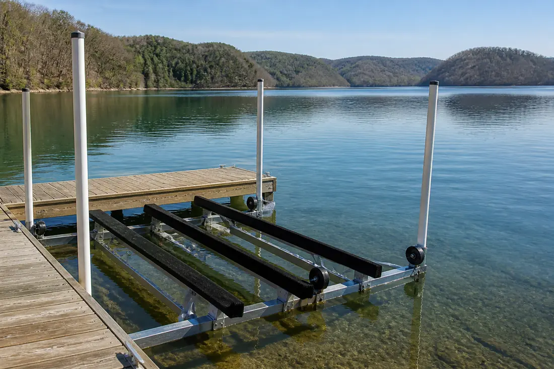
Impounds the Tennessee River. Roane County, Rhea County, Meigs County, Loudon County.
Seasonal water range
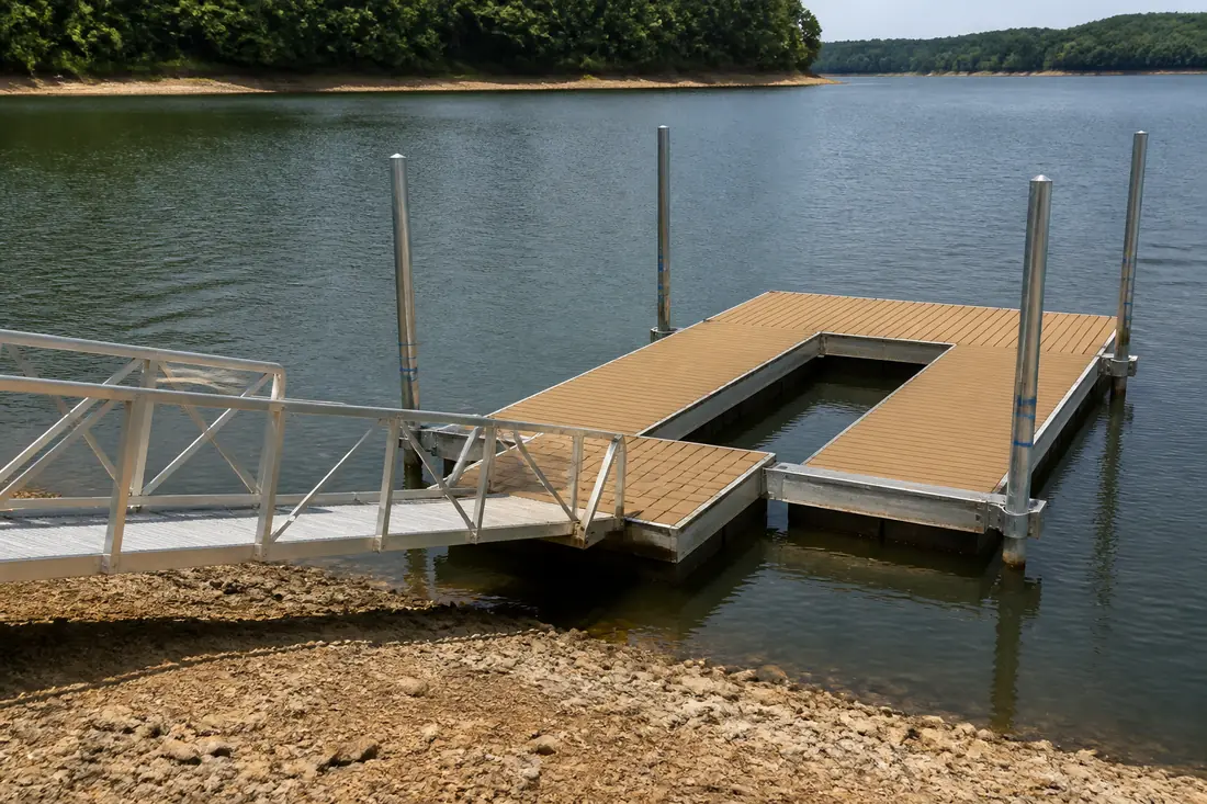
A navigation reservoir rather than a storage one, so the seasonal band is far narrower than on Norris, Douglas or Cherokee. Fixed construction is normal, with the winter level worth confirming for access and slip depth rather than for the structure itself.
Open water and fetch
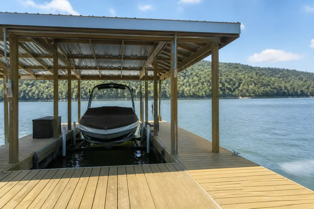
Watts Bar is a large lake with long open reaches, and fetch is the design factor that separates it from the tighter water upstream. Wind has room to build waves here, and a dock on an exposed shoreline sees conditions that a comparable structure in a Fort Loudoun cove never meets.
That drives heavier framing, more substantial anchoring and careful thought about orientation. Where a site allows any choice about which way the dock faces, that choice is worth more here than almost anywhere else in the region.
Two rivers, two kinds of shoreline
The lake takes in both the Tennessee and the lower Clinch, and the character changes between them. The Tennessee arm is broader and more exposed; the Clinch arm and the many creek embayments are narrower, more sheltered and generally shallower, with more silt and a softer bottom.
Bottom conditions matter for anything driven or anchored, and they vary widely across this lake. What holds in one embayment will not necessarily hold in the next.
Towns we cover on Watts Bar Lake
Sources
Reservoir classifications and seasonal ranges on this page come from TVA. Operating guides are revised, so check the current figure before relying on it for a design.
- TVA — Watts Bar Reservoir — checked 2026-09-01