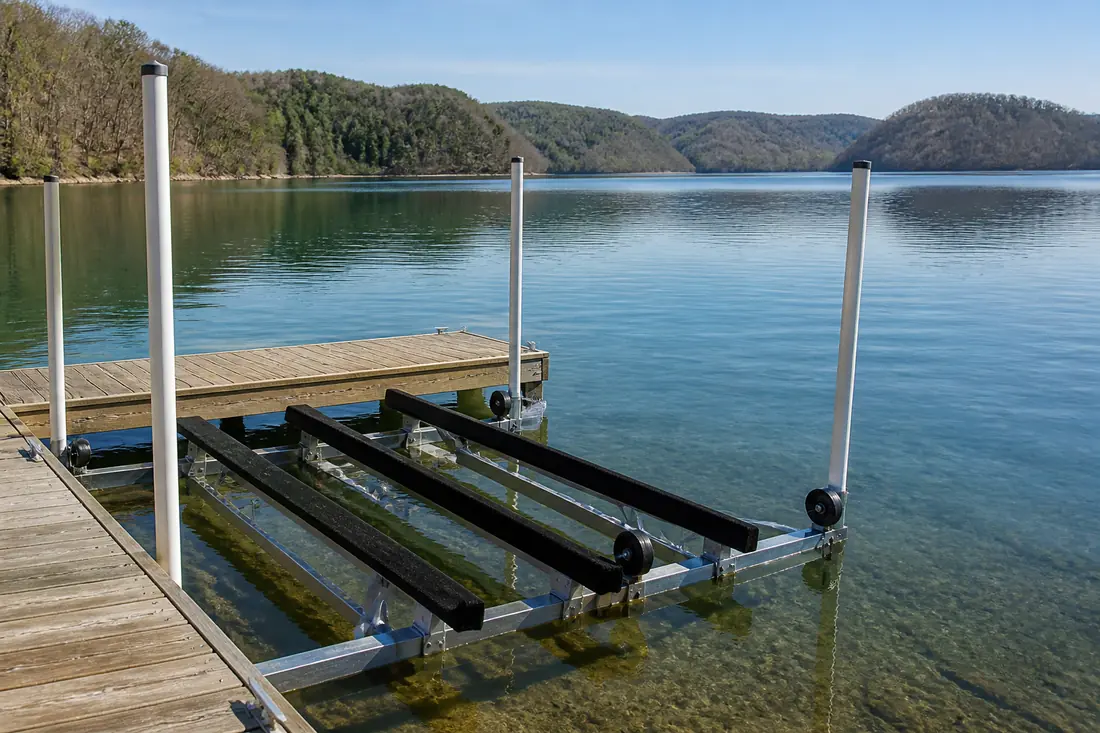
Impounds the French Broad River. Sevier County, Jefferson County, Cocke County.
Seasonal water range
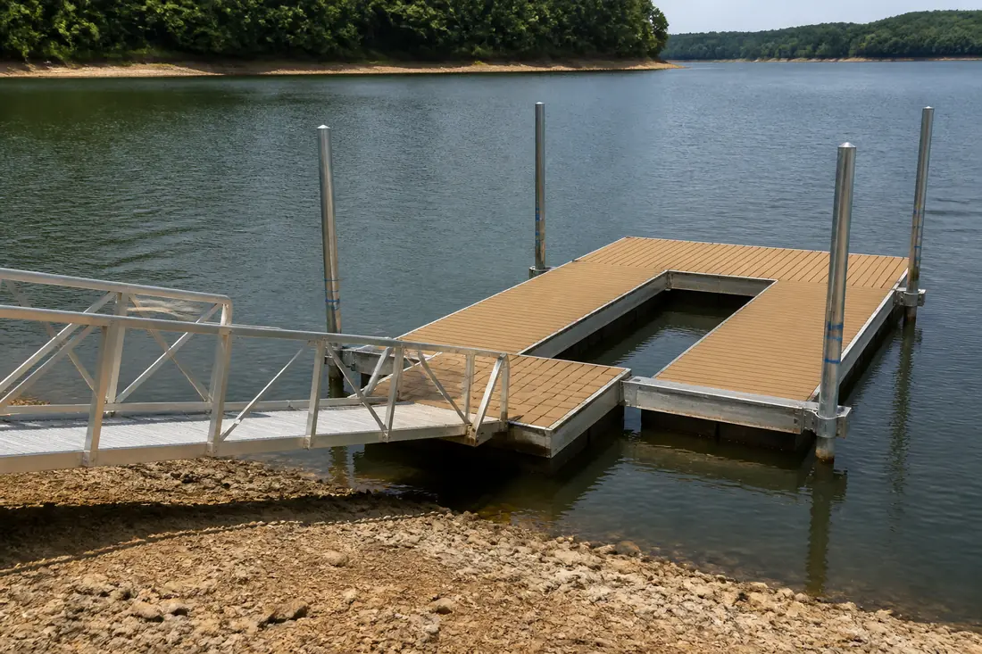
The largest seasonal swing of the lakes around Knoxville. In a year of normal rainfall TVA moves Douglas about 44 feet between summer and winter — half again the range on Norris or Cherokee. The shoreline itself changes shape, and floating construction with long adjustable access is effectively mandatory.
Designing for a shoreline that moves
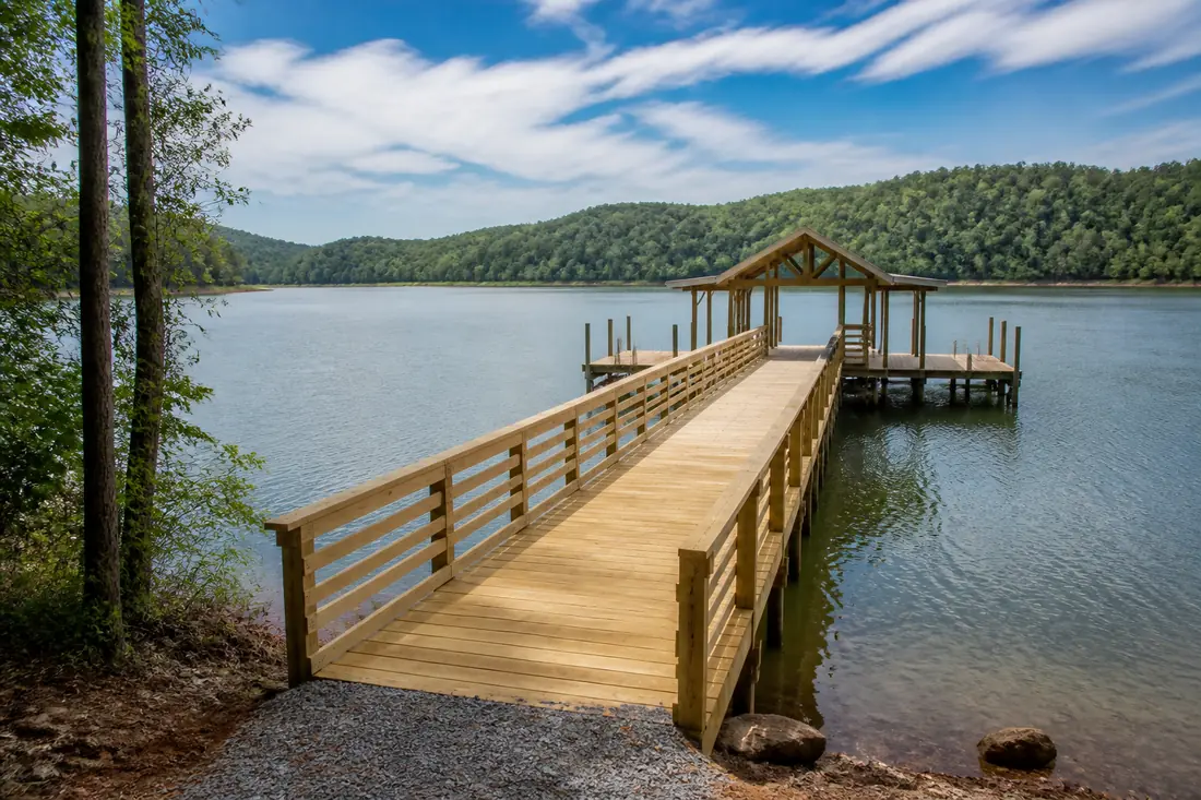
Douglas is drawn down further than any other lake covered here, and the consequence is that the waterline in February can be a long way from where it sits in July. A dock on Douglas is not designed for a water level; it is designed for a range, and the access structure has to cover the whole of it.
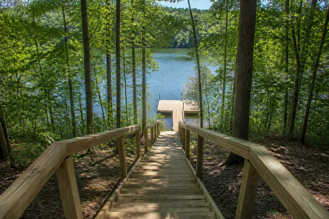
This is the lake where the walkway and the gangway are frequently longer, heavier and more expensive than the dock they lead to. Any design that treats access as an afterthought fails here first.
Shallow gradients make it harder
Much of the Douglas shoreline shelves gently, and a gentle gradient combined with a large vertical range means the waterline retreats a long horizontal distance as the lake comes down. On a steep bank a large drawdown moves the water down; on a shallow one it moves the water away.
That is why the same drawdown produces such different problems around this lake, and why a design copied from a neighbor with a different bank profile so often disappoints.
Towns we cover on Douglas Lake
Sources
Reservoir classifications and seasonal ranges on this page come from TVA. Operating guides are revised, so check the current figure before relying on it for a design.
- TVA — Douglas Reservoir — checked 2026-09-01