Impounds the Holston River. Grainger County, Hawkins County, Hamblen County, Jefferson County.
Seasonal water range
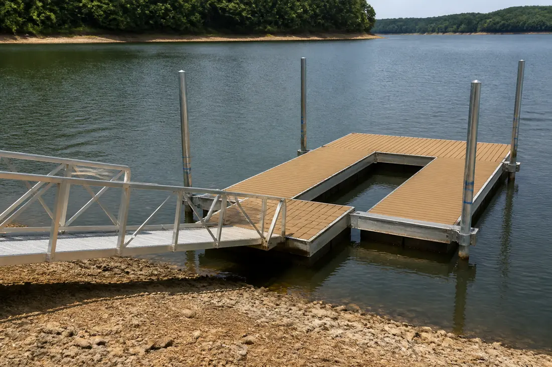
A tributary storage reservoir in the same category as Norris and Douglas rather than the navigation lakes near the city. In a year of normal rainfall TVA moves it about 30 feet between summer and winter, so floating docks and access designed for the full range are the normal approach.
A storage lake, with the same consequences
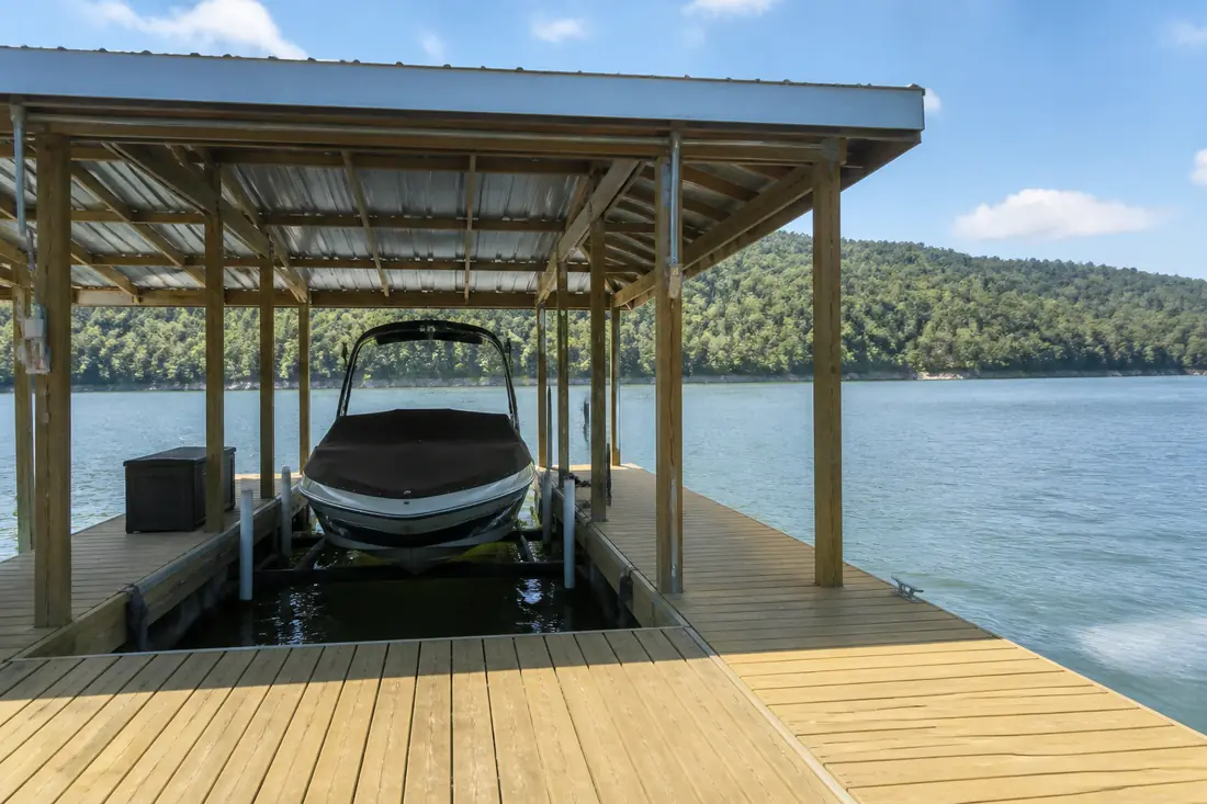
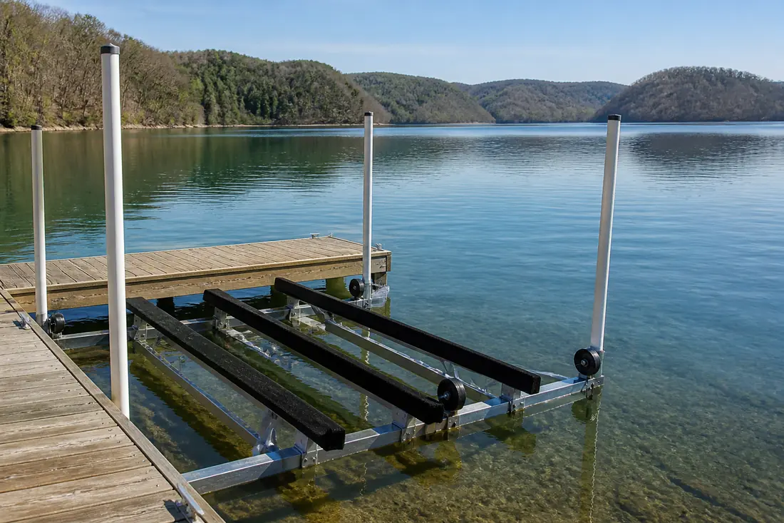
Cherokee behaves like Norris and Douglas rather than like Fort Loudoun. It is held high in summer and drawn down through the winter, and any dock built only for summer water becomes unusable for months at a time. Floating construction is the default, and the access run from the bank has to work across the full range.
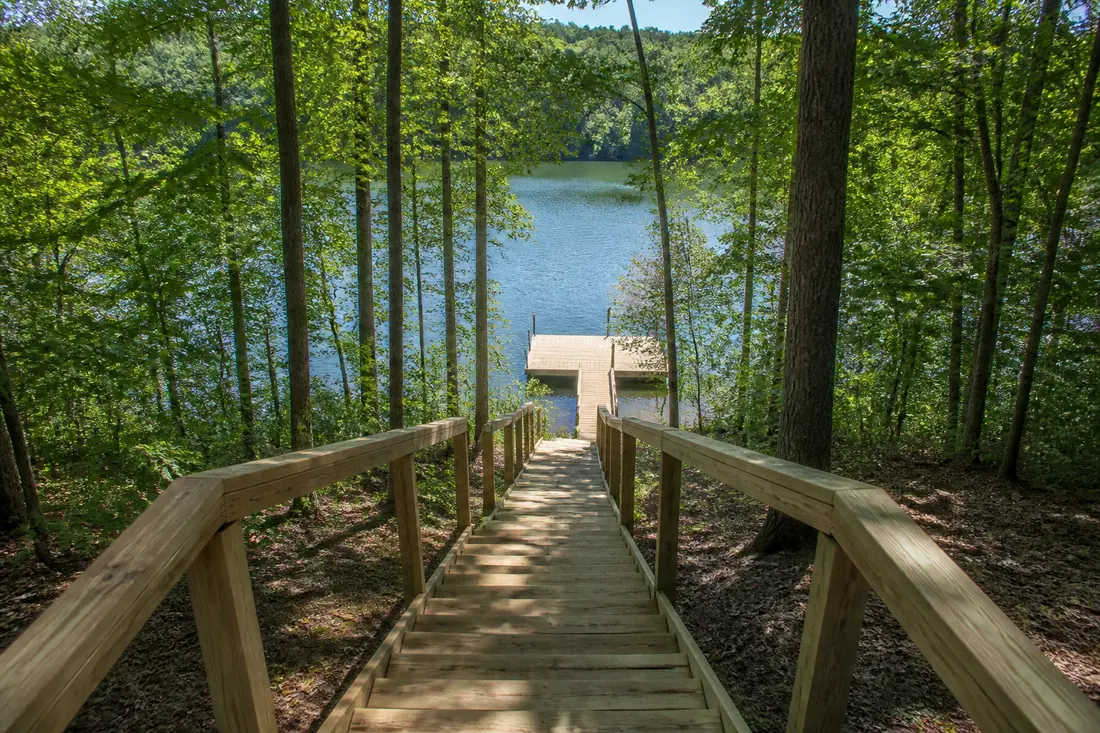
What distinguishes Cherokee is how much the shoreline varies along its length. It is a long lake, and the bank runs from steep bluff in places to broad shallow flat in others, sometimes within the same embayment. The right design is more site-specific here than on lakes with a more consistent profile.
Wind and the long reaches
The main body of Cherokee has long straight reaches, and wind runs down them with little to break it. On an exposed shoreline that produces meaningful chop, and a floating dock anchored adequately for a sheltered cove will move more than its owner expects.
Where a property has any sheltered water available, using it is usually worth more than the view given up by doing so.
Towns we cover on Cherokee Lake
Sources
Reservoir classifications and seasonal ranges on this page come from TVA. Operating guides are revised, so check the current figure before relying on it for a design.
- TVA — Cherokee Reservoir — checked 2026-09-01